
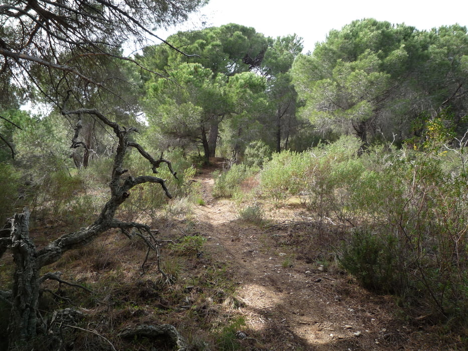

Von Kontiki los geht es kurz rechts auf die Straße, nach ein paar Metern links ein Sträßchen hoch. Kurz danach in eine Piste, über einen E-Zaun, vorbei an kleinem Stausee, beginnt ein schöner Pfad der uns über den Höhenrücken bis zur Straße Ramatuelle - S. Tropez führt. Diese direkt kreuzen und auf später sehr steiler Piste hoch auf den "Radioturm" 323hm.
Von dort beginnt ein schöner flowig zu fahrender Trail parallel der Straße. Irgendwann geht er steiler, z.t. durch ein ausgewachenes Bachbett und anspruchsvoller Richtung Ramatuelle. Dort kurz auf der Straße zurück Richtung S. Tropez, anfangs auf gleichem Weg über den Höhenzug. Nette Piste die irgendwann über die Anhöhe durch den offenen Wald zum Trail Richtung Kontiki wird.
Es sind nur 3 Sterne für die Technik, ist aber anspruchsvoller als die Tour über Gigaro.
Galerija izletov


Zemljevid in višinski profil izleta
Minimum height -10 m
Maximum height 322 m
More about the tour author
|
|
BienhoernerM |
Komentarji

Poti GPS
Trackpoints-
GPX / Garmin Map Source (gpx) download
-
TCX / Garmin Training Center® (tcx) download
-
CRS / Garmin Training Center® (crs) download
-
Google Earth (kml) download
-
G7ToWin (g7t) download
-
TTQV (trk) download
-
Overlay (ovl) download
-
Fugawi (txt) download
-
Kompass (DAV) Track (tk) download
-
List z izleti (pdf) download
-
Original file of the author (gpx) download
More about the tour author
|
|
BienhoernerM |
Add to my favorites
Remove from my favorites
Edit tags
Open track
My score
Rate