


Diese Tour ist eine ruhige, beschauliche Wanderung in freier Natur.
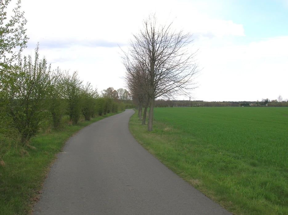
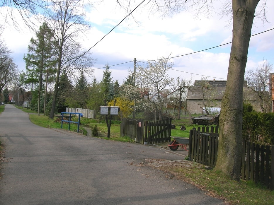
Von Wartha aus laufen wir auf einem schönen von Bäumchen und Büschen gesäumten Weg. Durch freies Feld und Wiesen kommen wir nach Koblenz. Das ist en kleines Dorf, das wir am Rand durchwandern. Hier sehen wir teilweise noch alte Gehöfte, wie sie früher für die ländlich geprägte Gegend typisch waren.
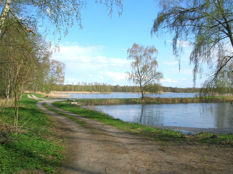
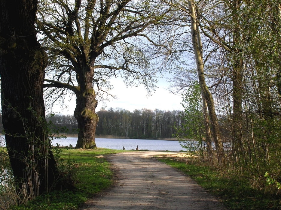
Weiter geht es durch eine Vielzahl von Teichen zurück nach Wartha. Die Landschaft ist hier sehr abwechslungsreich. Viel Grün, alte Eichen und Wasservögel aller Art sind zu sehen. Auch viele Amphibien sind hier zu Hause.
Auch wenn nicht alle Wege auf den Karten verzeichnet sein sollten, sie sind gut erhalten und bequem zu laufen.
Galerija izletov
Zemljevid in višinski profil izleta
Minimum height 127 m
Maximum height 182 m
More about the tour author

|
Oberlausitzer |
Komentarji

Über die B96 von Bautzen aus befindet sich kurz nach dem Ortseingeng Wartha links an einer ehemaligen Gaststätte eine Parkmöglichkeit.
Über die B96 von Hoyerswerda aus kurz vor dem Ortsausgang links.
Poti GPS
Trackpoints-
GPX / Garmin Map Source (gpx) download
-
TCX / Garmin Training Center® (tcx) download
-
CRS / Garmin Training Center® (crs) download
-
Google Earth (kml) download
-
G7ToWin (g7t) download
-
TTQV (trk) download
-
Overlay (ovl) download
-
Fugawi (txt) download
-
Kompass (DAV) Track (tk) download
-
List z izleti (pdf) download
-
Original file of the author (gpx) download
More about the tour author
|
|
Oberlausitzer |
Add to my favorites
Remove from my favorites
Edit tags
Open track
My score
Rate