


Tour von Röthenbach (bei Heimenkich) zum Eistobel, Schüttentobel, Königsalpe und zurück.
Beinhaltet alles was der Biker braucht: Trails, knackige kräftige Anstiege und Abfahrten, Aussicht und Schiebetück von ca. 5-10min. Die Tour könnte auch 50Gatter/-Zaun-Tour heißen. Fahrrichtung im Uhrzeigersinn.
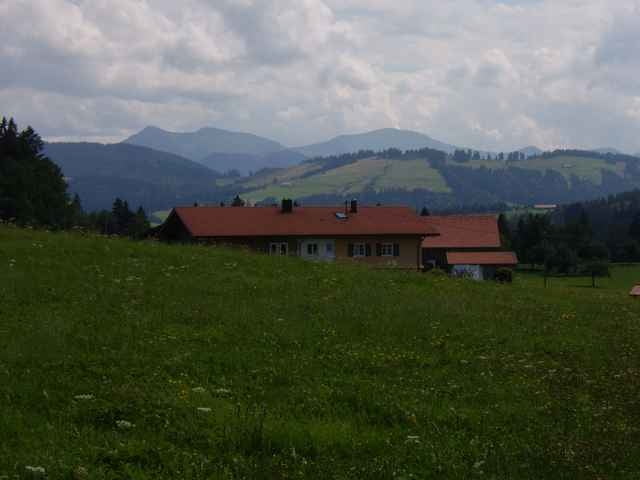
Unterwegs hat es versch. Gasthäuser und Almen.
Die Tour läßt sich mit der Kugeltour 1380 schön erweitern.
Beinhaltet alles was der Biker braucht: Trails, knackige kräftige Anstiege und Abfahrten, Aussicht und Schiebetück von ca. 5-10min. Die Tour könnte auch 50Gatter/-Zaun-Tour heißen. Fahrrichtung im Uhrzeigersinn.
Unterwegs hat es versch. Gasthäuser und Almen.
Die Tour läßt sich mit der Kugeltour 1380 schön erweitern.
Galerija izletov
Zemljevid in višinski profil izleta
Minimum height 627 m
Maximum height 939 m
More about the tour author
|
|
skyhopper |
Komentarji
Von Isny nach Weiler, in Steinegaden links Richtung Röthenbach / Oberstaufen.
Poti GPS
Trackpoints-
GPX / Garmin Map Source (gpx) download
-
TCX / Garmin Training Center® (tcx) download
-
CRS / Garmin Training Center® (crs) download
-
Google Earth (kml) download
-
G7ToWin (g7t) download
-
TTQV (trk) download
-
Overlay (ovl) download
-
Fugawi (txt) download
-
Kompass (DAV) Track (tk) download
-
List z izleti (pdf) download
-
Original file of the author (gpx) download
More about the tour author
|
|
skyhopper |
Add to my favorites
Remove from my favorites
Edit tags
Open track
My score
Rate
Kommentar
Die Einkehr in der Königsalpe entschädigt auch für die vielen Schotterpassagen!