Login

Si pozabil/a podatke za prijavo?

Cookies have to be accepted!
Your browser's cookie functionality is disabled. Please enable this functionality.

Not a member yet?

Register now
Login

Available for registred users only

Log in to use this feature.

Si pozabil/a podatke za prijavo?

Cookies have to be accepted!
Your browser's cookie functionality is disabled. Please enable this functionality.

Not a member yet?

Register now
Filter
Kategorije
Advanced filters
  • Dolžina (km)
  • Metri nadmorske višine
Shrani filter Reset filter

TrackRank

QRCode

Technical data

Dolžina13,7 km Metri nadmorske višine231 m Way down213 m Trajanje01:30 h:m Datum13.05.2012
Ocene Author Pokrajina Dejavnik zabave Kondicija Tehnika

Statistika

215 Pogledi Ocene 35 Prenosi Povprečje
Rate
  • List z izleti
  • Prihod
  • Prenosi
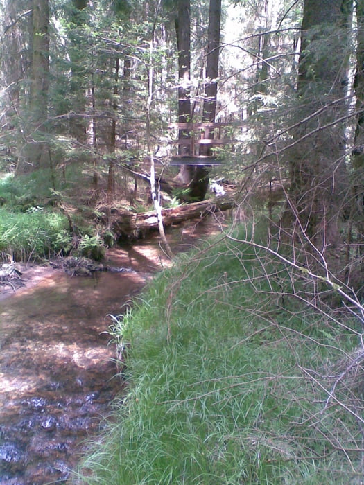
Goldlehrpfad mit zahlreichen informativen Schautafeln. Geeignet für MTB.

Galerija izletov

Zemljevid in višinski profil izleta

  • Open Street Map
  • Google
Minimum height 562 m Maximum height 677 m Prikaz podrobnosti

More about the tour author

Nori40
Member since 2010

Send private message

Komentarji

Anfahrt über Eslarn oder Oberviechtach. Zwischen Oberlangau und Pirk b. Pullenried Starpunkt mir Parkmöglichkeit.

Poti GPS

Trackpoints
  • GPX / Garmin Map Source (gpx) download
  • TCX / Garmin Training Center® (tcx) download
  • CRS / Garmin Training Center® (crs) download
  • Google Earth (kml) download
  • G7ToWin (g7t) download
  • TTQV (trk) download
  • Overlay (ovl) download
  • Fugawi (txt) download
  • Kompass (DAV) Track (tk) download
  • List z izleti (pdf) download
  • Original file of the author (gpx) download

More about the tour author

Nori40
Member since 2010

Send private message
Share track
Add to my favorites
Remove from my favorites
Edit tags
My score
Rate
Izlet: Goldlehrpfad
Vrsta: Gorsko kolo
Dolžina: 13,7 km
Evaluated on:
Trajanje:
Day(s)
Hour(s)
Minute(s)
Ocena: Pokrajina Dejavnik zabave Kondicija Tehnika